
The Future of Emergency Response: Drone Data Visualization in Crisis Management
Every minute lost in a disaster can cost lives. Drones are turning those minutes into life saving action.
USE-CASETHOUGHT-PAPER
Rimashree
10/13/20255 min read
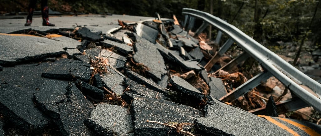
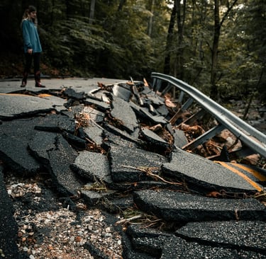
A city rattles from an earthquake. Roads collapsed, people trapped. Traditional responders struggle to map the chaos. But above the smoke and rubble, drones zip through the skies—sending real-time visuals, mapping damage, spotting survivors, and guiding rescue teams with pinpoint accuracy.
This isn’t sci-fi anymore. It’s the new frontier of emergency response. Drones have revolutionized the way we respond to disasters. They’ve redefined response speed and efficiency in ways that were once impossible. They can be used to quickly assess the situation, locate victims, and even deliver supplies and aid.
Why This Matters
Disasters are increasing in frequency and scale—climate change, urban density, tech accidents, you name it.
Emergency teams often face the same hurdles: lack of information, communication breakdowns, and sheer unpredictability.
Minutes save lives. And data—visualized properly—turns chaos into a roadmap.
Drones in Action
Modern drones are more than flying cameras. They’re mobile intelligence hubs:
Rapid Deployment: Unlike helicopters, UAVs launch within minutes, reaching the scene almost instantly. UAVs can reach areas inaccessible by humans or vehicles such as remote mountains, dense forests, or collapsed urban areas.
Speed That Saves Lives: Cover vast areas in minutes. Deliver real-time data to teams on the ground, so critical actions happen without delay. With real-time aerial views, first responders gain an instant understanding of the environment, helping them make smarter, faster decisions.
Thermal Imaging & Detection: Keep responders out of danger zones. Thermal sensors and remote operation let drones locate people in rubble, tunnels, or hazardous environments without risking lives.
Communication Relay: Restore connectivity when traditional networks fail, transmitting maps, voice, and data across disaster zones.
Cost-Effective Crisis Response: Rapid damage assessments, precise resource allocation, and even drone-delivered medical supplies cut costs while speeding recovery.
How UAVs are used in emergency management?
Drones have become indispensable in modern emergency response, offering capabilities that traditional methods can't match. Here's how they make a difference:
Monitoring Hazardous Areas: Emergency drones can actually help prevent accidents and injuries. They are often used to monitor hazardous areas, such as construction sites or industrial sites, to detect potential safety risks and alert workers to take action. Drones can also be used to monitor and inspect infrastructure, such as bridges or pipelines, to detect any potential issues before they become a safety hazard.
Search and Rescue Operations: In search and rescue missions, drones equipped with thermal sensors can quickly locate missing persons in challenging terrains, including rubble or dense forests. Their ability to cover large areas rapidly enhances the efficiency of rescue efforts, potentially saving lives in critical situations.
Delivering Vital Supplies: Drones can transport essential medical supplies, such as defibrillators or medications, to remote or inaccessible locations. This capability ensures timely delivery of aid, especially in areas where traditional transportation methods are hindered by damaged infrastructure.
Providing Real-Time Situational Awareness: Equipped with high-resolution cameras and sensors, drones offer real-time aerial footage of disaster sites. This live data enables emergency responders to assess the situation accurately, make informed decisions, and coordinate efforts more effectively.
Assessing Damage and Planning Recovery: After a disaster, drones can quickly survey affected areas, capturing detailed images and videos. This data aids in assessing the extent of damage, prioritizing response actions, and planning recovery operations efficiently.
Types of Drones used for emergency services
Not all drones are built the same—each type brings unique strengths to the chaos of disaster zones. Here are the key categories that reshape emergency management:
1. Multirotor Drones
What they are: The most common type—think quadcopters or hexacopters.
Strengths: Easy to launch, hover steadily in place, and capture detailed visuals.
Use cases: Ideal for close-range missions like search and rescue, thermal imaging for survivors, or delivering small medical supplies.
2. Fixed-Wing Drones
What they are: Airplane-style UAVs built for endurance and range.
Strengths: Cover large distances quickly and stay airborne for hours.
Use cases: Perfect for surveying flood zones, mapping wildfire spread, or assessing damage across vast rural or coastal areas.
3. Hybrid/VTOL (Vertical Take-Off and Landing) Drones
What they are: The best of both worlds—take off like a multirotor, fly like a fixed-wing.
Strengths: Combine long flight endurance with the ability to hover and land in tight spaces.
Use cases: Critical in large-scale disasters where both wide mapping and precision inspection are needed.
4. Nano & Micro Drones
What they are: Palm-sized drones designed for agility in tight environments.
Strengths: Navigate through rubble, collapsed buildings, or underground spaces.
Use cases: Urban search and rescue, tunnel inspections, or locating survivors in confined spaces.
5. Heavy-Lift Drones
What they are: Larger UAVs designed to carry significant payloads.
Strengths: Transport heavier supplies—water, food, or medical equipment—into areas cut off from traditional logistics.
Use cases: Supply drops during floods, earthquakes, or isolated rural emergencies.
6. Tethered Drones
What they are: Drones connected to a ground station via a cable.
Strengths: Unlimited flight time (since they draw power from the ground) and stable communications relay.
Use cases: Setting up temporary communication networks when disaster knocks out cell towers
Real-World Case Study: Drones in Action During a Recycling Plant Fire
What Happened:
On February 4, 2025, a massive blaze erupted at a recycling plant in Sydney’s St Marys suburb. More than 100 firefighters and 20 fire trucks rushed to the scene—but the fire was so intense that sending in personnel became unsafe. That’s when drones took over.
How Drones Took the Lead:
Multi-angle oversight: Two drones were stationed around the blaze, tracking its spread, intensity, and behavior from different vantage points.
Indoor reconnaissance: Another drone flew directly inside the warehouse, streaming live footage to incident commanders. They assessed the fire’s location and structure layout—without a single human stepping inside.
Air quality surveillance: A larger drone monitored air conditions, ensuring the scene was safe enough for personnel to enter once the fire was contained.
The results:
Zero firefighter injuries, thanks to drones absorbing the initial risk.
Faster, smarter decision-making, with hoses directed precisely where they were needed.
Quicker containment of the blaze, saving both time and resources.
As Assistant Commissioner Michael Morris put it: “The drone technology is a real game-changer—not just for firefighter safety, but for the whole community.”
The Road Ahead: Human + Machine, Stronger Together
The story of drones in emergency response is still being written. What’s clear is that these machines aren’t replacing the bravery of firefighters, medics, or search-and-rescue teams—they’re amplifying it.
Tomorrow’s emergencies will be faster, more unpredictable, and often more destructive. But with swarms of drones mapping danger in real-time, AI predicting hazards before they happen, and visual dashboards guiding teams with pinpoint accuracy, the future of crisis response looks sharper than ever.
The takeaway? Drones don’t just give us eyes in the sky—they give us time. And in a world where every second matters, time is the greatest life-saving tool of all.
Photo by Colin Lloyd on Unsplash
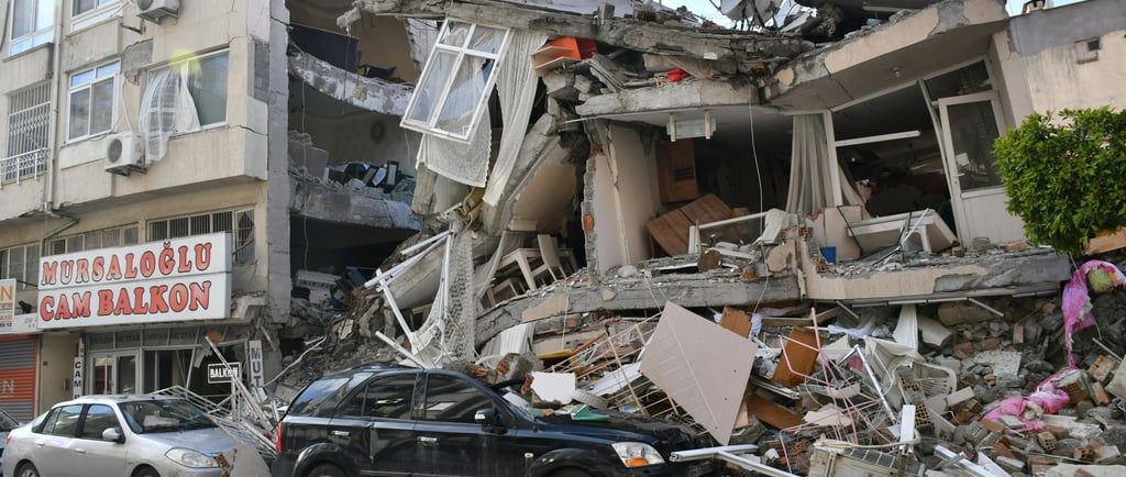
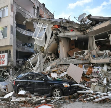
Photo by Çağlar Oskay on Unsplash
Photo by Matt Palmer on Unsplash


Helpful Links
Join Us Online
Want to learn more?
Copyright © Kesowa Infinite Ventures Private Limited
Subscribe to our newsletter for the latest features and updates.
By subscribing, you consent to our Privacy Policy and receive updates.