
Dynamic Gaussian Splatting: The Future of Live 3D Maps Is Already Here
In the world of geospatial tech, the shift from static maps to living, dynamic digital environments has already begun. The next evolution isn’t happening quietly — it’s unfolding in real-time, powered by a breakthrough technology called Dynamic Gaussian Splatting. If traditional maps were postcards, this is the moment they come alive, breathe, and start responding to the world as it changes. We’re entering an era where maps don’t just show where things are — they show what’s happening right now. And Gaussian splatting is the magic behind it.
THOUGHT-PAPER
Rimashree
12/10/20253 min read


What Exactly Is Gaussian Splatting?
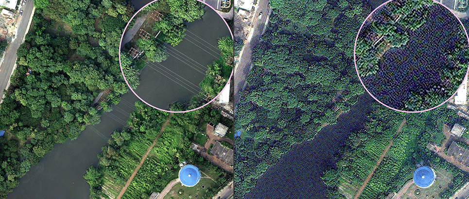
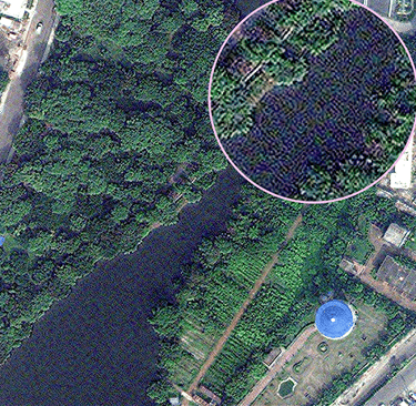
Let’s break it down, imagine building a 3D scene not with heavy triangles or polygon meshes, but with millions of soft, glowing particles — tiny blobs called Gaussians. Each blob has color, size, shape, and position. One blob means nothing. But millions? They blend like watercolor to form a photorealistic 3D world.
It’s a bit like painting reality using floating pixels.
Gaussian splatting became popular because it is:
Fast to render
Easy to stream
Ridiculously realistic
Perfect for large outdoor scenes
Where traditional 3D models struggle with weight and compute load, splats glide through with speed and beauty.
What Makes It Dynamic?
Static splats are cool — but dynamic splats are a whole new universe. Dynamic Gaussian Splatting means the 3D scene updates as the world updates.
Data comes in live from:
Drones
LiDAR scanners
CCTV cameras
Autonomous vehicles
Phone-based sensors
IoT devices
Real-time GIS feeds
These sensors keep whispering updates to the map:
“Hey, a car moved here.”
“Shadows shifted.”
“Water levels rose.”
“Crowd density changed.”
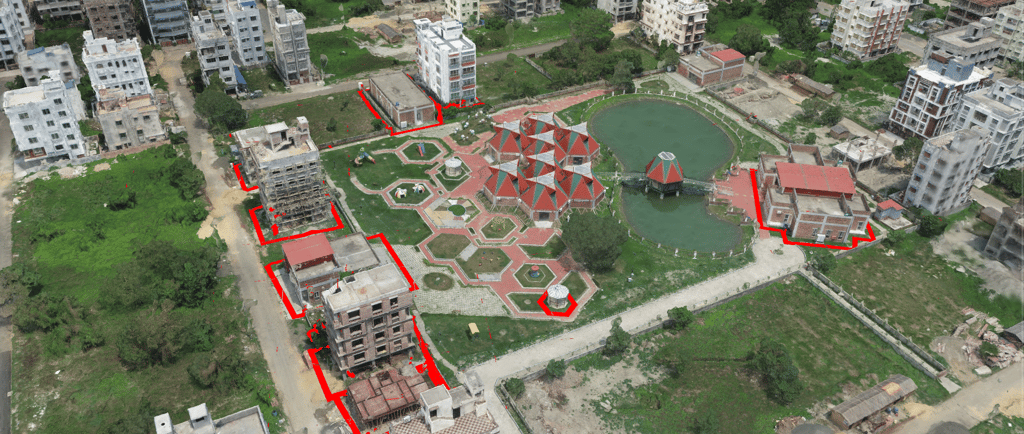
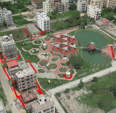
The splats rearrange instantly — creating a living, moving, real-time 3D map that mirrors the real world second-by-second.
Why Bring Gaussian Splats Onto Maps?
Because suddenly, maps stop being outdated snapshots and become real-time portals into reality.
Dynamic splatting on maps allows us to:
See movement in 3D
Visualize changes as they happen
Align live 3D data perfectly with geographic coordinates
Monitor cities like they’re digital twins
Make decisions based on now, not yesterday
It’s Google Earth… if Google Earth could breathe.
Real-World Applications
Smart Cities - Track traffic, crowd movement, roadblocks, and construction live. Urban planners and city authorities get a real-time 3D dashboard of the entire city.
Disaster Response - Earthquakes, floods, landslides — drones can instantly stream 3D data to responders. Every second counts, and splats give a fast, clear visual of the ground reality.
Infrastructure & Utilities - Pipeline networks, water distribution, electrical grids — engineers can overlay live 3D maps on top of real assets for monitoring and maintenance.
Digital Twins - Cities, factories, and campuses can have virtual versions updated continuously with sensor data. No more stale models — only living replicas.
Autonomous Navigation - Cars, drones, and robots can navigate using live 3D mapping instead of static maps. This boosts safety and accuracy by a mile.
Defense & Surveillance - Live 3D situational awareness is becoming a critical component of modern security. Dynamic splats provide high-resolution, low-latency visual intelligence.
Why It Beats Traditional 3D Mapping
Traditional point clouds and polygon meshes were groundbreaking, but they come with baggage.
Gaussian splatting offers clear advantages:
Higher FPS, smoother visuals
Lower compute load
Streams easily over the web
Handles large environments without lag
More photorealistic
More efficient for updates
It lets you visualize massive 3D worlds without needing a supercomputer. Splats basically said, “Polygons walked so we could sprint.”
Challenges & What’s Still Evolving
Every emerging tech has its growing pains. Dynamic Gaussian splatting still faces:
Heavy bandwidth demand for truly live scenes
Early-stage industry standardization
Limited mainstream software support (but growing fast)
Need for robust sensor networks
Good news?
The geospatial industry is already working on standardization efforts, including extensions for glTF, which will soon make splat-based data as portable as JPEGs.
The Future: A World Rendered in Real-Time
Dynamic Gaussian splatting is the missing bridge between reality and simulation. As spatial computing rises — AR glasses, holographic maps, AI-assisted navigation — splats will be the paintbrush of the real-time world.
Imagine:
Walking through a city with AR glasses showing a live 3D reconstruction
Engineers monitoring water leaks in a digital twin updated every second
Live 3D dashboards for NDRF teams responding to disasters
Urban planners simulating entire neighborhoods with real-time data
This isn’t science fiction. It’s already happening — just not evenly distributed yet. But one thing is clear:
The future of maps isn’t 2D.
It isn’t even static 3D.
It’s dynamic, streaming, splat-powered reality.
Conclusion
Dynamic Gaussian Splatting marks a turning point in the evolution of mapping. Maps are no longer silent images — they’re transforming into living reflections of the world, updating with every moment, every movement, every shift in the environment. With real-time data streaming and Gaussian splats shaping the visuals, the future of mapping is bright, fast, and extraordinarily alive.
The future of live 3D maps isn’t coming.
It’s already here.
Bring your city or infrastructure into the real-time era.
Discover how Dynamic Gaussian Splatting can transform monitoring, planning, and decision-making.
Connect with us to explore tailored solutions.


Helpful Links
Join Us Online
Want to learn more?
Copyright © Kesowa Infinite Ventures Private Limited
Subscribe to our newsletter for the latest features and updates.
By subscribing, you consent to our Privacy Policy and receive updates.