

Drone Data Package
₹50000.00
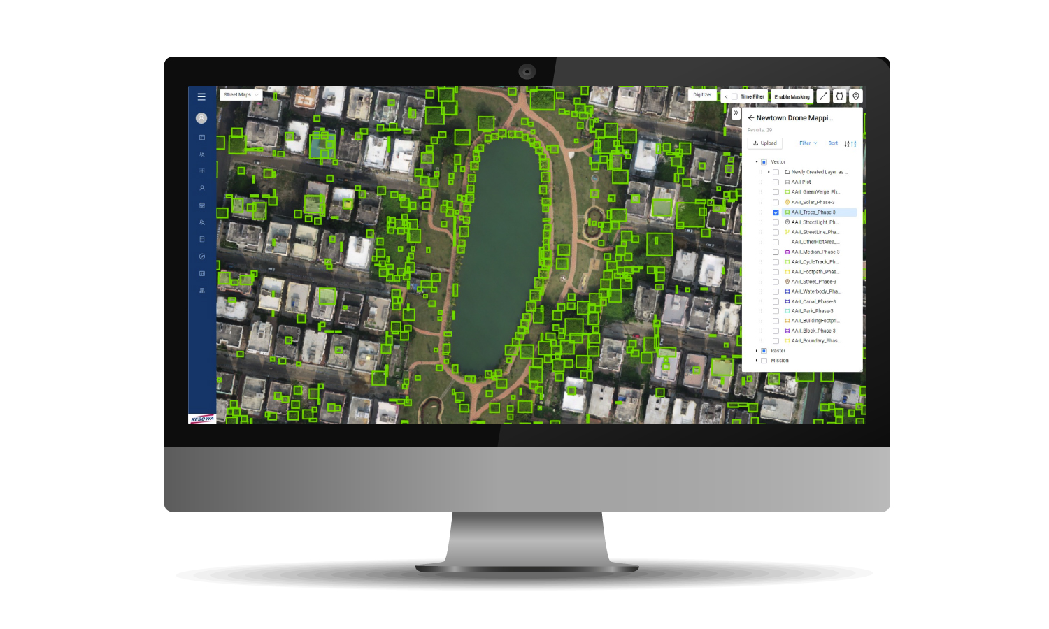
Photos, Videos and 2D Orthomosaic + 3D Map for Upto 5 Acre Land Parcel
High-resolution aerial mapping for precision planning: Our Drone Map Package provides detailed orthomosaic maps, 3D model, and terrain map (DSM) for urban planning, construction, waste management, and environmental monitoring. Ensure accuracy, efficiency, and smarter resource allocation with cutting-edge drone technology.
Generally Bundled with Data Analyst Package for Analysis on Data.
Placing an order will generate a Proforma Invoice. We will contact you and co-ordinate the next step.
Standard Delivery Terms - Within 30 Days.
No refund available.
In case of non serviceability/cancellation from Kesowa, 50% refund will be provided.
You accept responsibility of any/ all permissions as required and necessary.
Pricing valid for Kolkata only.


